Rainy Lake Is a Special Place, If You Appreciate Brutal Hikes
My first attempt to run to Rainy Lake was unsuccessful. I had to turn back when I was 90% of the distance there, which from my experience is only 75% of the work required to reach the lake. This is due to there being a scramble up a wickedly steep ridge just before you descend into the lake basin.
Turn out, I was less about 10-12 minutes away and 0.3 miles away, so, fairly close. Here are the stats from all four runs:
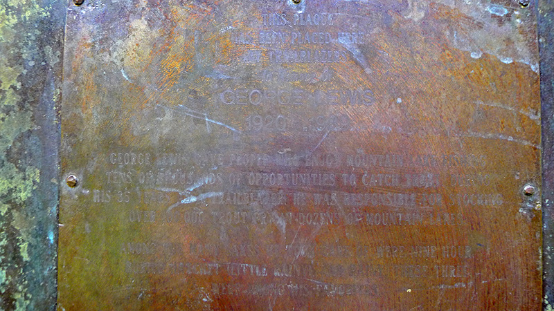
If you're having trouble reading the plaque:
This Plaque Has Been Placed Here By Trailblazers.
In Memory Of:
GEORGE LEWIS, 1920-1989
George Lewis gave people who enjoy mountain fishing
tens of thousands of opportunities to catch trout.
During his 35 years as a trailblazer he was responsible
for stocking over 100,000 trout in dozens of mountain lakes.
(George Lewis Bio)
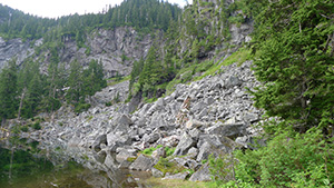
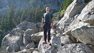
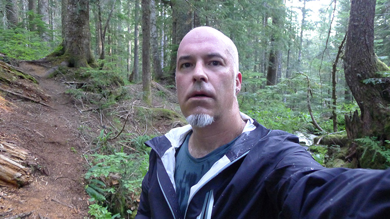
I must admit I have a love/hate relationship with Rainy Lake. It's one of the only runs that I've done where I'm just not sure, each time, that I'll be able to get to the actual lake. The trail is, in a word, a brutality. It's about 2,700 feet of elevation gain across 3 miles. It begins with a incredibly steep ascent to get above the creek, and that sets the pace right away. There are several incredibly steep scrambles along the way (usually over mud and roots), a handful of downed trees blocking the trail, a couple of boulder fields to cross, and then the grand finale is a nausea-inducing, jelly-legged run up over a wickely steep ridge, prior to descending into the lake basin itself.
To quote from the wta.org description:
Can confirm.
This is also the run that tests my resolve to the core. Why am I doing this? What's the point? I'm so slow. I must be in terrible shape. If I quit now I'll be a loser and a quitter. The run ends up being both a tortured mental exercise as well as brutal physical exercise.
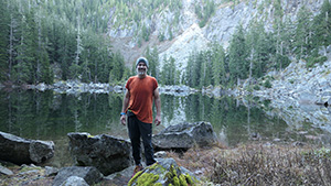
I've attempted this run four times and was successful three of them. The last one, I was nauseous for the last mile, and felt sick for most of the day after I was done. I'm actually a little surprised that I finished that run.
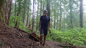
There are so many photos, I'd like to break them up into two galleries:
1. The Trail2. The Lake
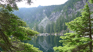
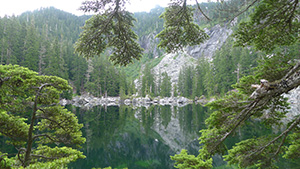
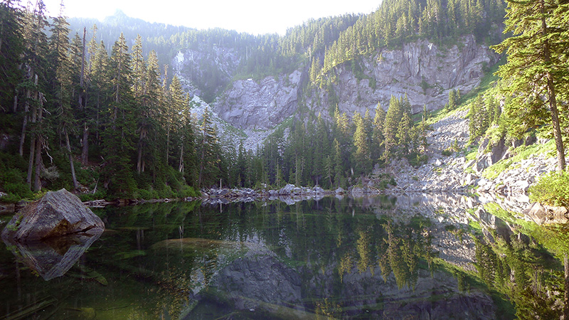
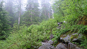
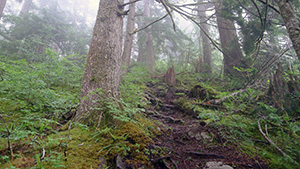
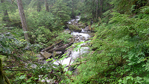
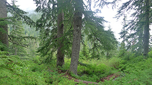
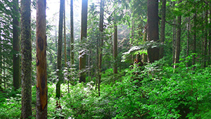
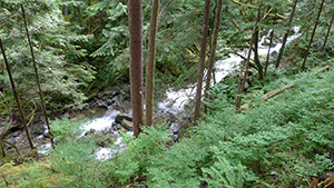
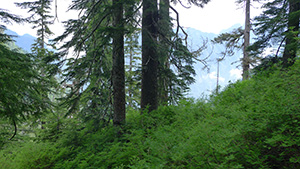
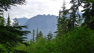
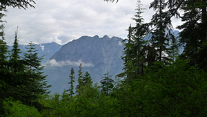
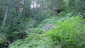
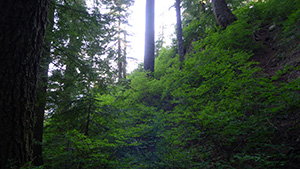
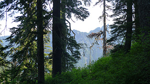
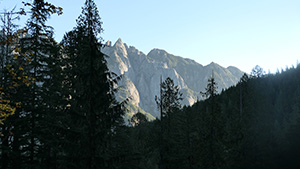
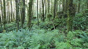
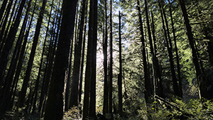
The approach to the lake is incredibly variant. There are lush forests, talus slopes, granite boulders, mud and roots, scrambles, a brief view of Stegosaurus Butte, and a waterfall that's hopelessly difficult to get to. It ends in a taunt: How much do you really want this?!?, as you need to summit a ridge just just goes up and up and up, in order to reach your destination.
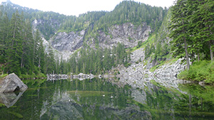
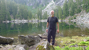
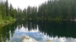
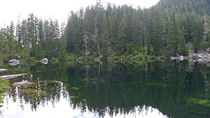
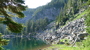
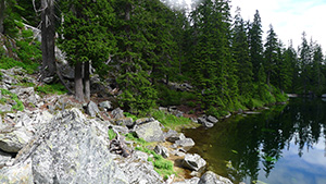
Once you're at the lake, take a well-deserved rest. It's a small lake, with a narrow, mostly overgrown, path that runs counterclockwise around 1/3rd of the lake. There is at least one hike that continues from here (Preacher Mountain and The Pulpit), which is one reason people camp by the lake.