I May Have Taken the Best Photo I've Ever Taken at Rainy Lake Today
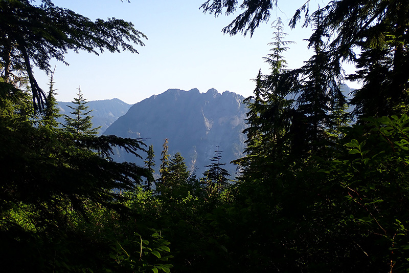
I recently ran just the 1st mile or so of Rainy Lake (due to having to re-reoute a previous run after a bear encounter), and after that run, I was feeling fairly optimistic about my chances of making it to the lake.
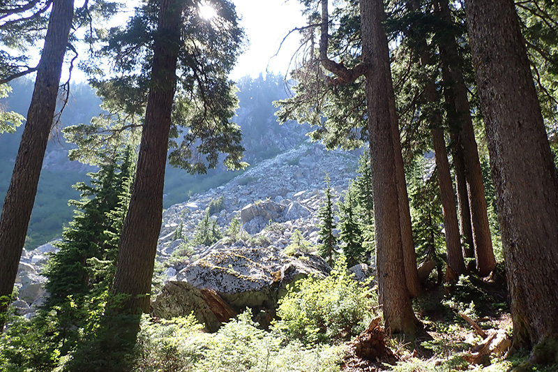
(I ran to the granite boulder fields and thought "This isn't so bad - maybe I should try the whole thing", while also apparently discarding my previously negative experiences of the Rainy Lake Trail).
A couple of weeks later I woke up early and headed to North Bend. I was early enough that I had company while stretching out before my run: a deer was munching on berries in the parking lot next to my car and was [apparently] very unimpressed with me, as my presence had seemingly no effect.
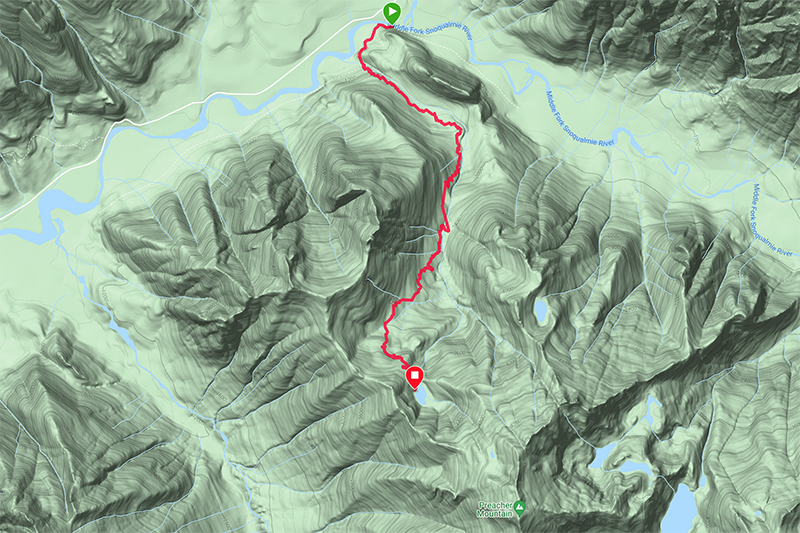
Incidentally, here's a map of the route to Rainy Lake:
As a reminder that this trail is in rough shape in places, here's a quote from the wta.org description:
(Emphasis mine)
Also, here are my stats. I broke my previous records for travel-time (1h15m there, 1h10m back):
- Garmin map & stats (there)
- Garmin map & stats (back)
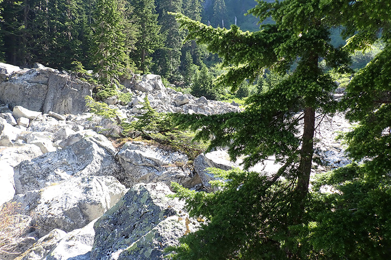
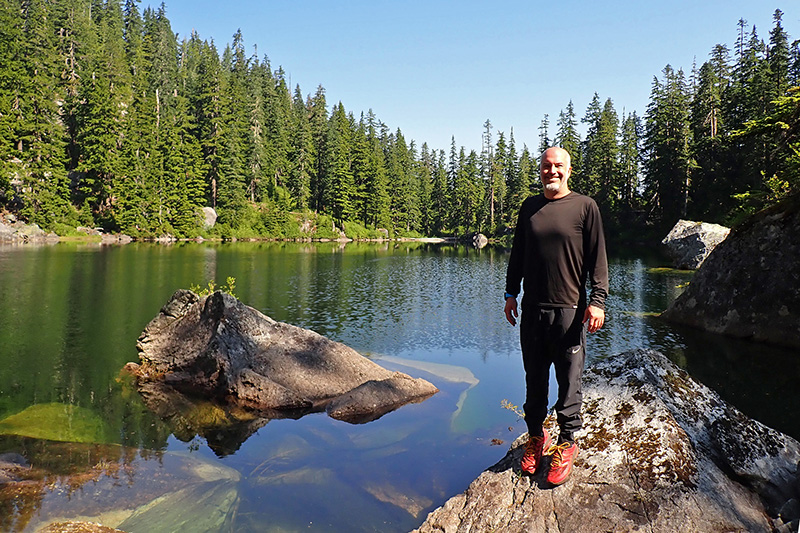
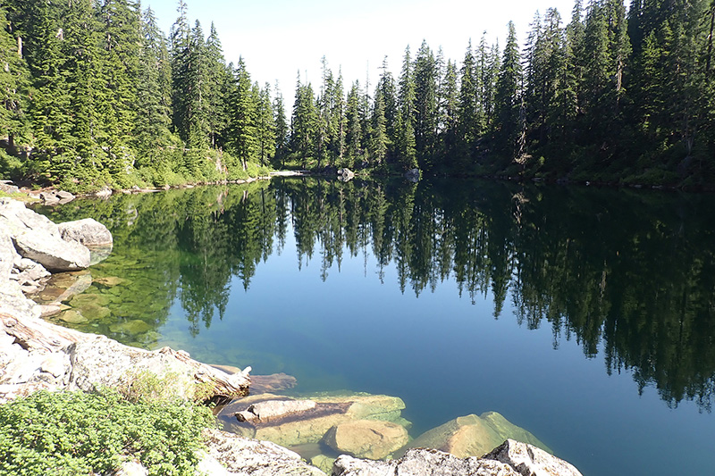
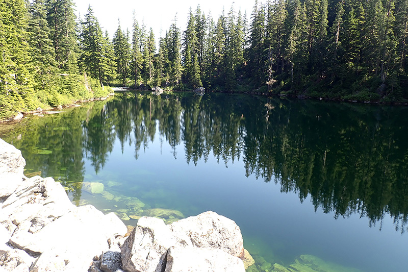
When I got to the lake I felt really good for the very first time. Usually, I'm exhausted and all I want to do is sit down and relax/recover. However this time, I felt great. I had a lot of extra energy and so I set out to do some exploring. I went counter-clockwise around the lake, to the inlet side.
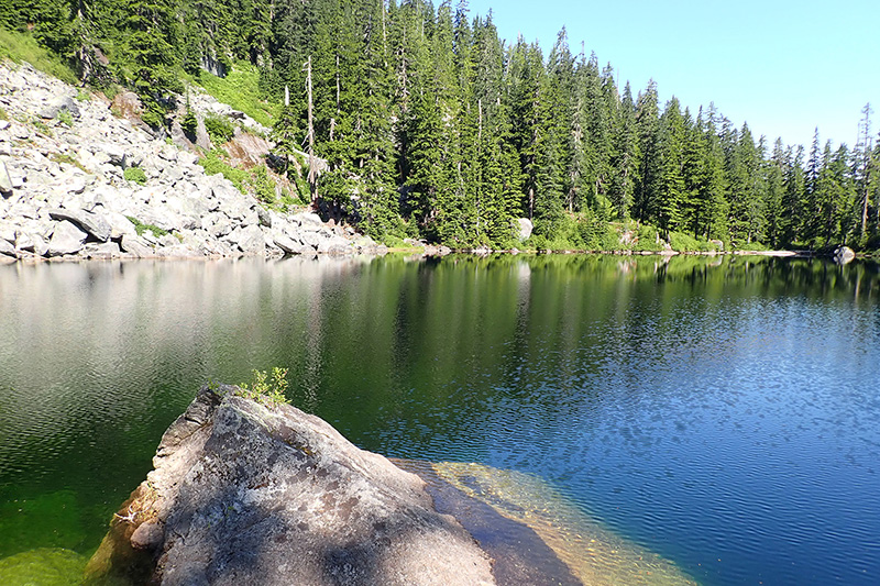
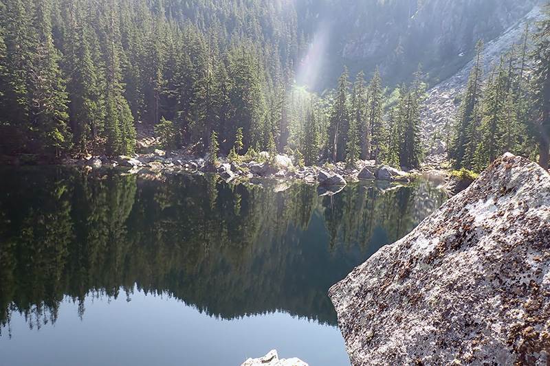
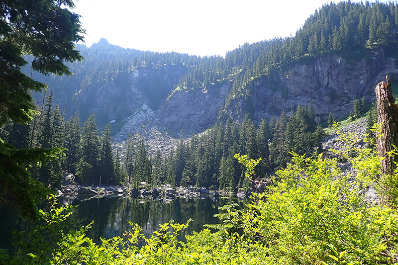
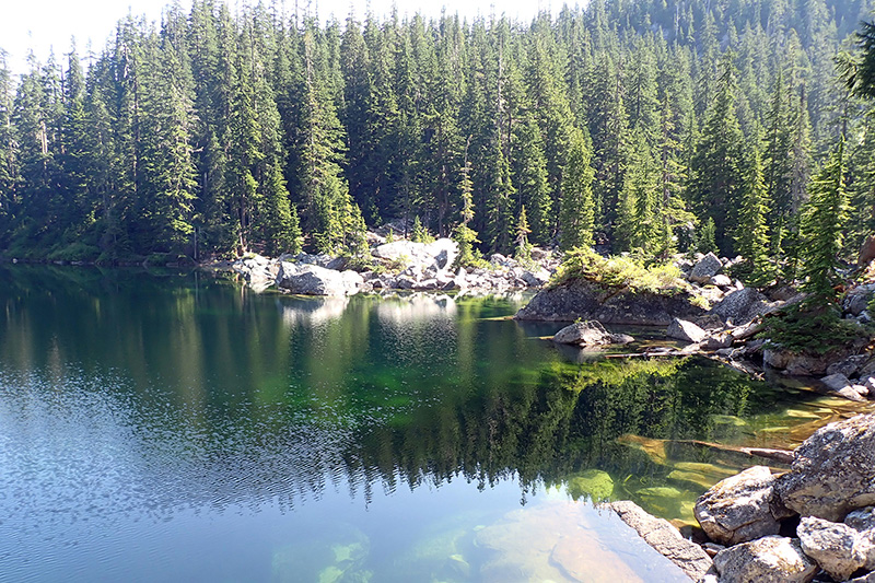
If you click on the above map, you can see, on the opposite side of the lake from where my approach ends is an inlet. That's the area the photos in the photo gallery below are from.
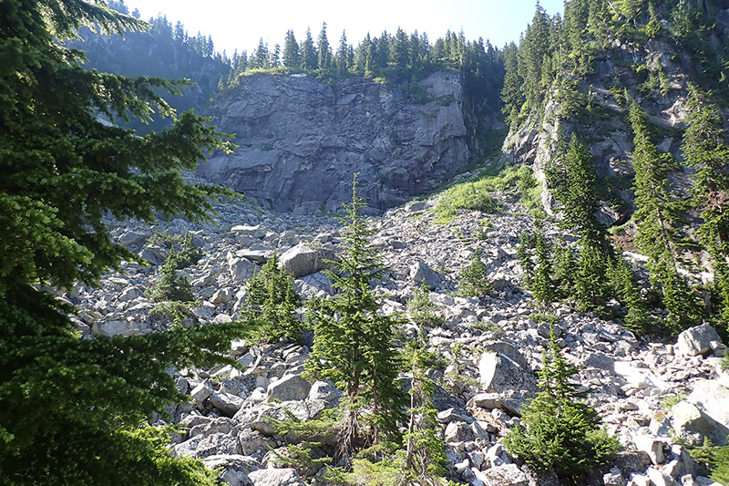
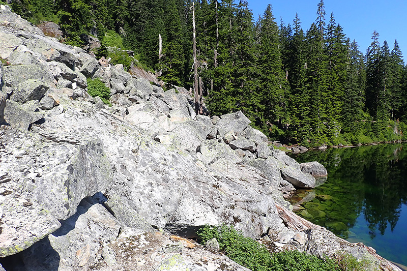
The boulder field that must be crossed to get to the inlet side is on the south side of the lake.
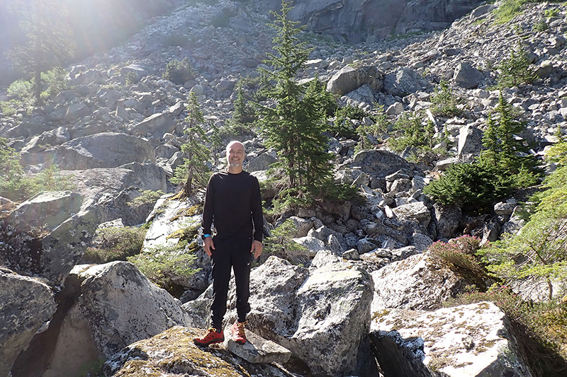
I had a wonderful time exploring and spent more than an hour crawling over huge granite boulders and walking along the shore near the inlet.
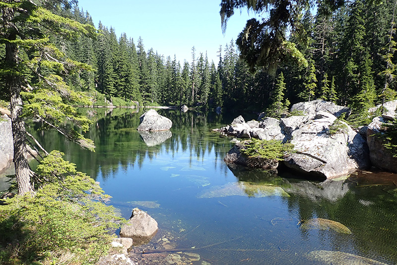
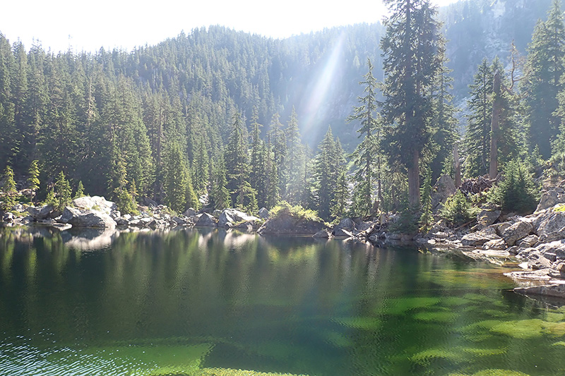
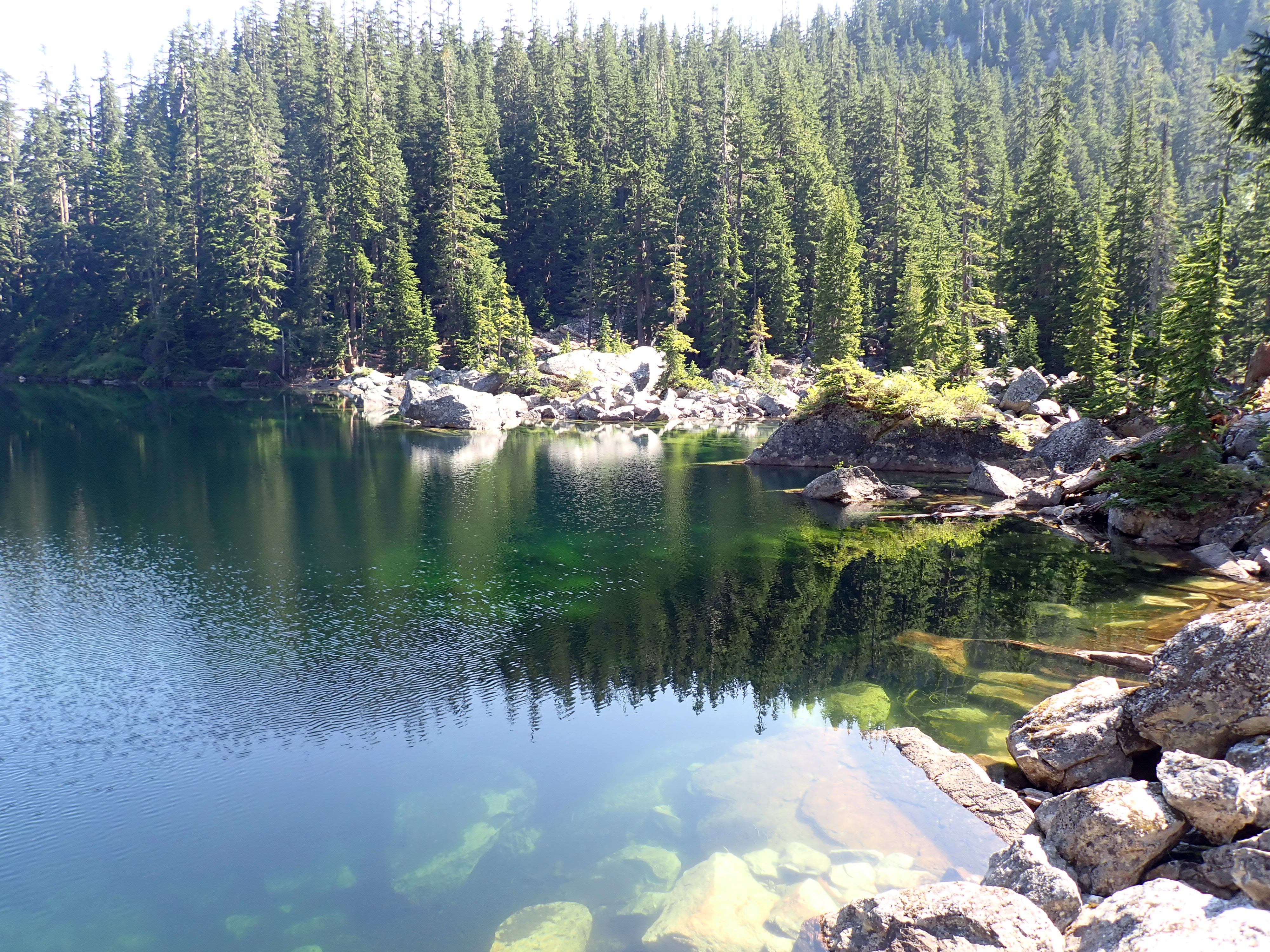
Later that evening, I was looking through the photos I had taken and one really stood out to me. I looked at it for several minutes, enjoying the compositon (e.g.: the reflection of the trees in the still water vs the ripples in the water, the variety of textures from the evergreens, granite, clear water, the different colors, etc). I'm pretty sure it's one of the best photos I've ever taken.
Check it out: there's a download link underneath the image:
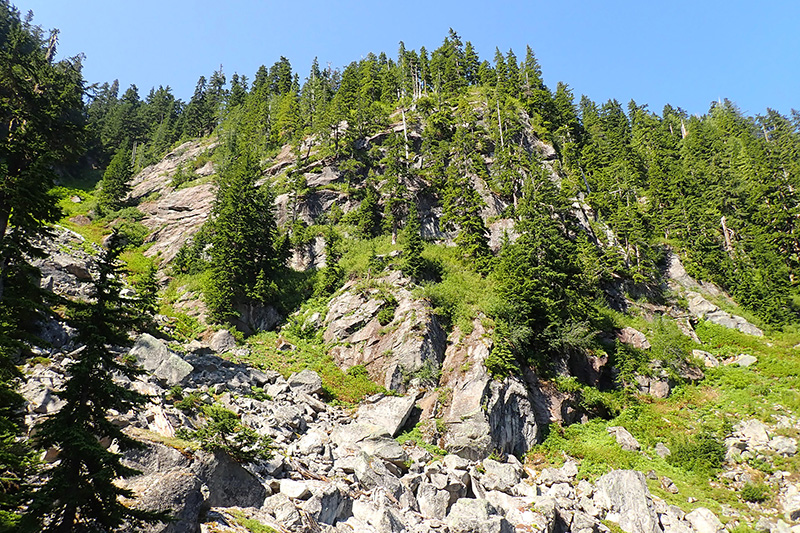
I took a bunch of photos from a point of view that's generally not accessible. I was inspired to maybe try to follow the last mile to Preacher Mountain at some point, though I suspect I'd have to hike back (as opposed to "run back"). The return route is already dangerous, and when you're super tired, it's easy to get injured.
Well on it's way to being The Pacific Northwest's Most Photographed Lake.