Mount Pilchuck
Mount Pilchuck is a very popular trail here in the NW, approximately two hours from Seattle[1].
While I was hiking, I was thinking about how I would describe Pilchuck to someone who isn't familiar with it. This is what I came up with:
- It's a hike for people who want to claim they're serious hikers when they're really not.
- It's a hike for people who want to put the word hike in quotes, while doing the whole "finger flex" gesticulation[2], as in: I went {ff} "hiking" today
In fairness, it's a great hike; it's just short (5.2 miles round trip) and doesn't have a lot of elevation gain (a little less than 2,000'), so I think of it more as a "starter hike" (aka: your first {ff} "serious" hike).
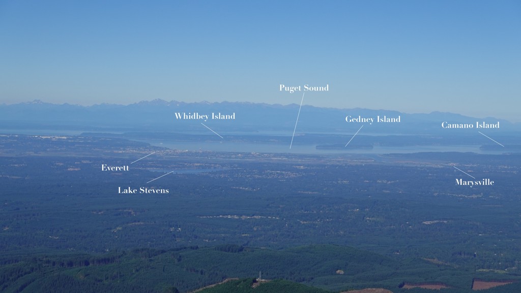
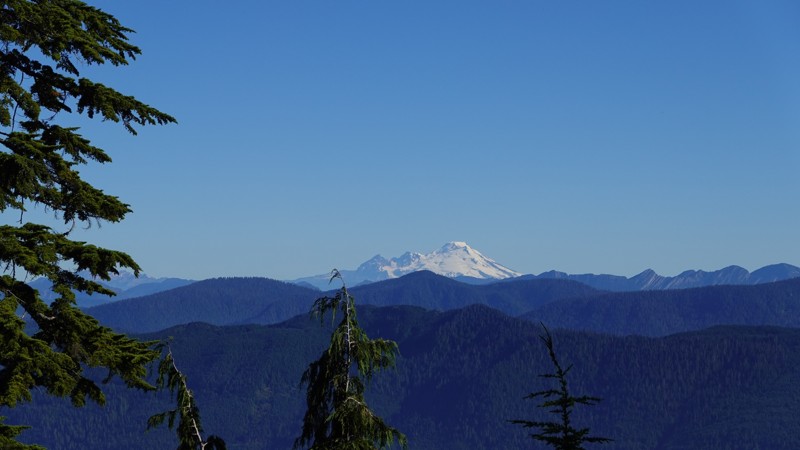
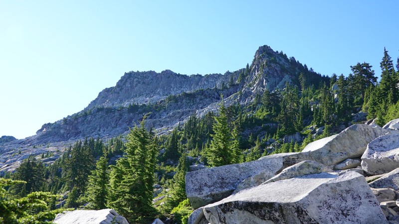
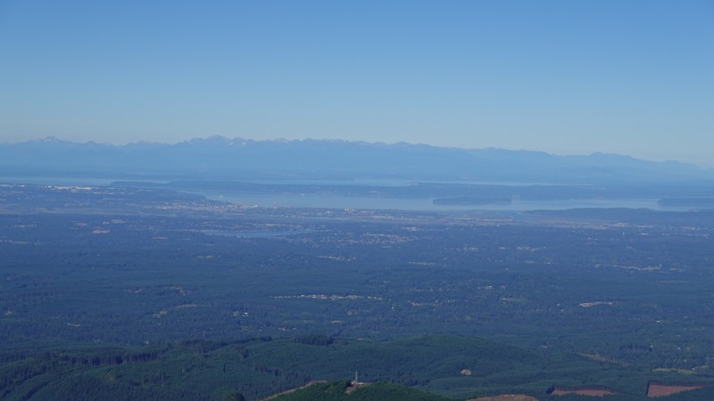
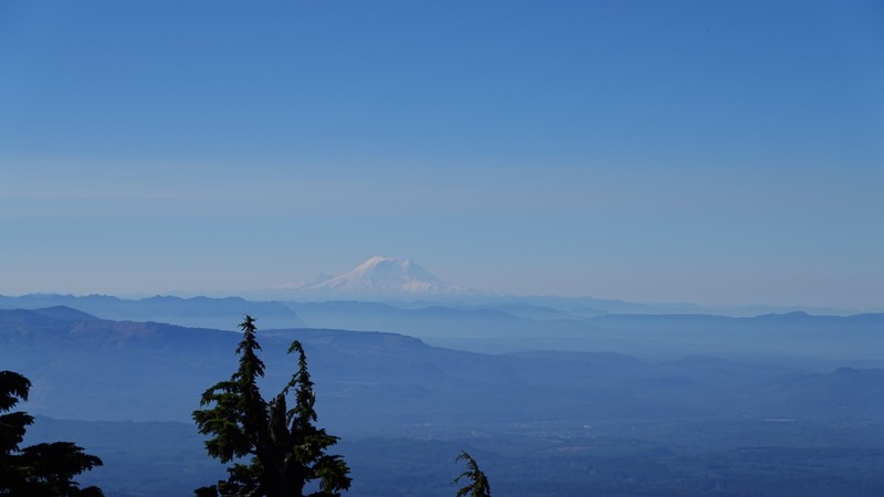
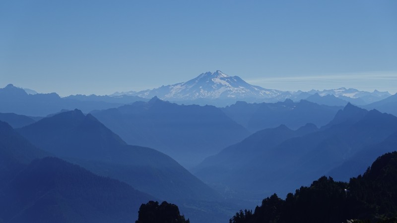
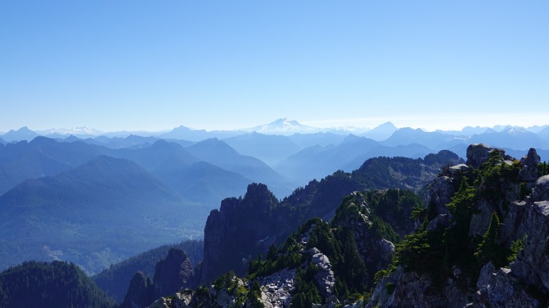
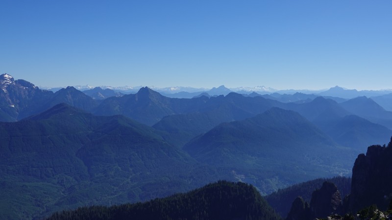
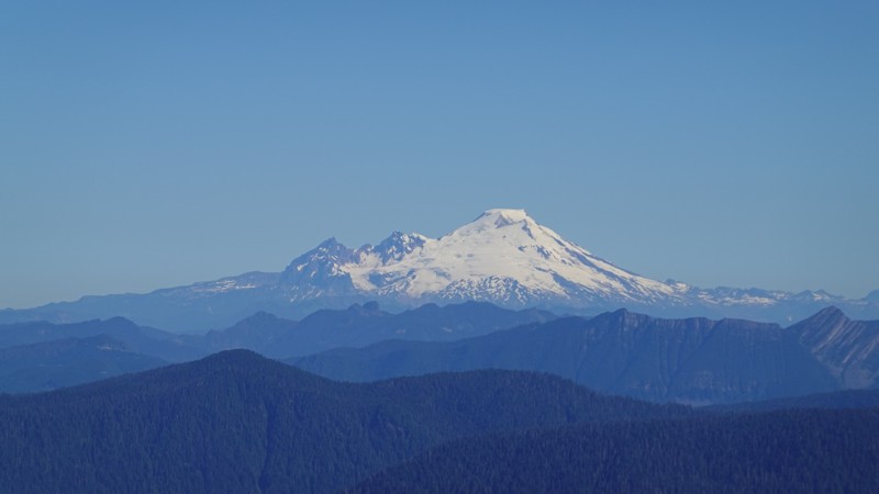
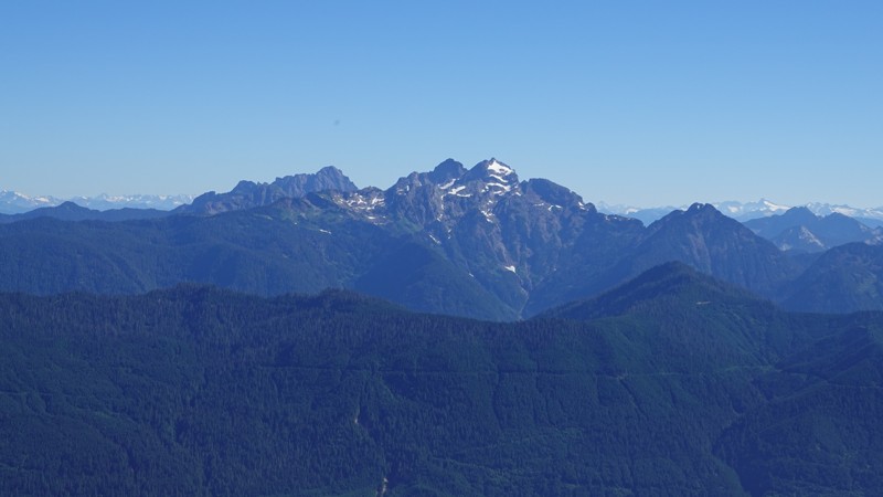
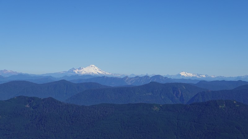
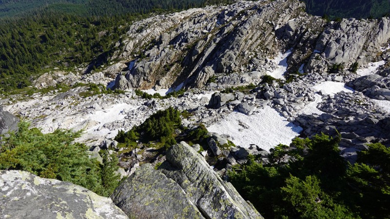
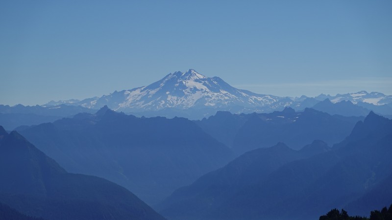
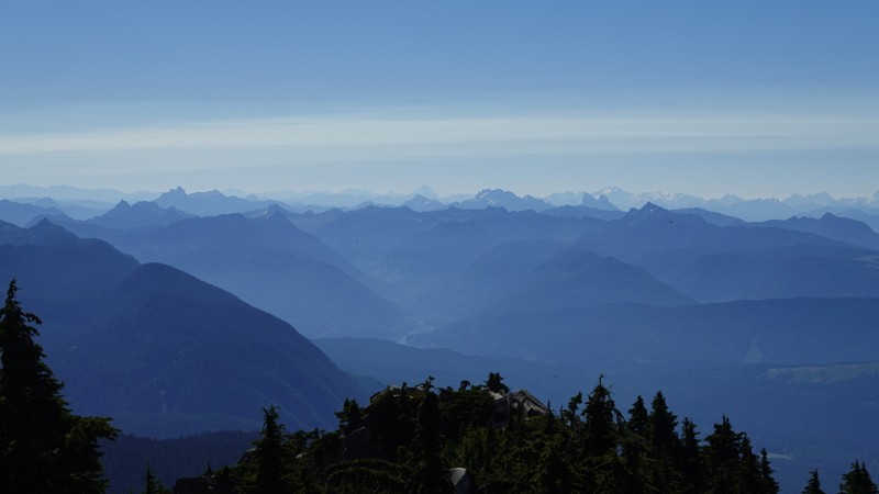
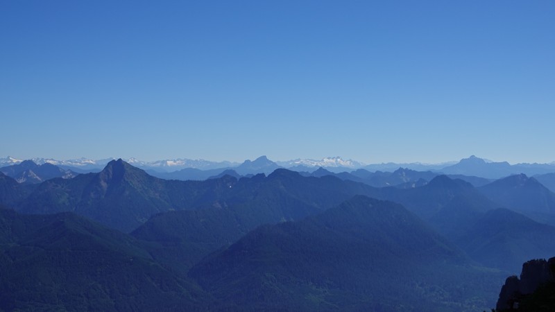
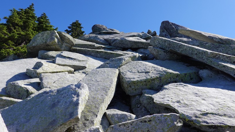
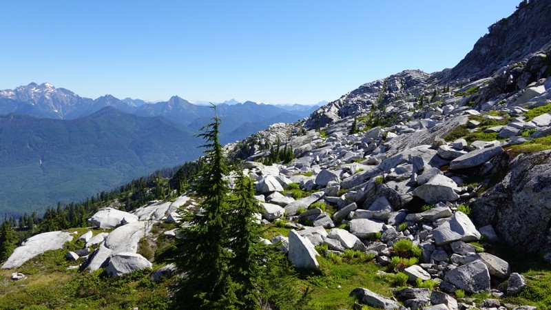
It's also a beautiful hike, and the topography of the mountain is very rugged, and unique, and the views at the top are spectacular. One of it's advantages is that there's an unobstructed west-facing view of Puget Sound, which is rare in the Cascades, and so you can see Whidbey Island, Everett[3], Lake Stevens, etc.
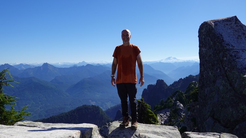
Check out this annotated photo I took from near the summit. I recommend clicking that image for the larger version (so the text will be clearer).
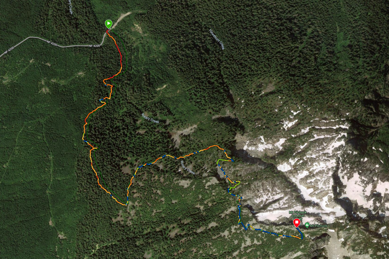
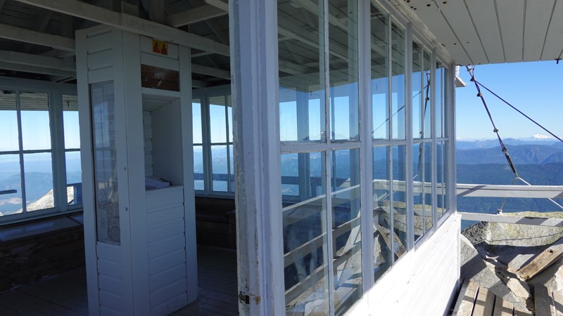
The entire trail was snow-free all the way to the summit, which made getting to the fire lookout very straightforward. Here is my uneventful ascent and descent, as well as my ascent map, courtesy of Garmin:
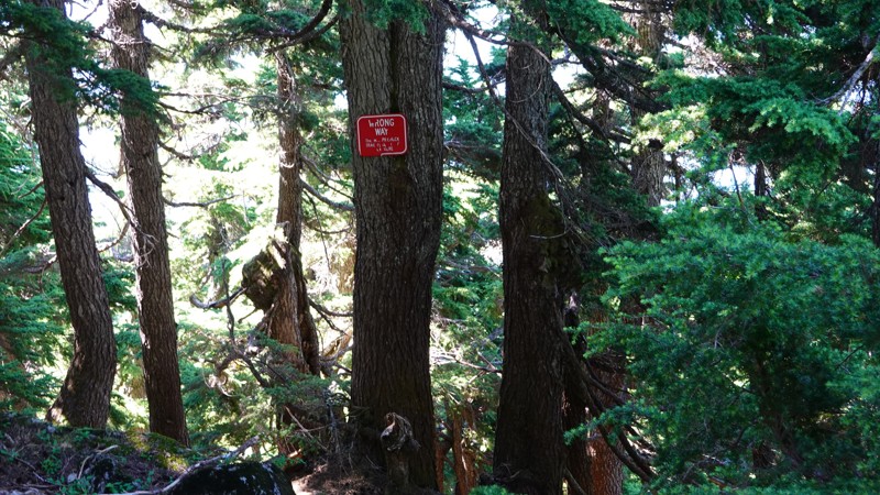
This hike does transform into something dangerous when the mountain is covered in snow, and it's fairly easy to get lost and wander off-trail (ask me how I know). I recommend summiting this one when the trail is clear, and then using GPS if you hike it when the trail is under snow.
Here's an excerpt from the WTA description of the hike:
Apparerently, Snohomish County Volunteer Search and Rescue (aka: SCVSAR) pulls a handful of people off of Pilchuck each year, so casual hikers should probably stick to the summer hiking season.
I definitely picked the best day this week upon which to hike (the rest of the week it's expected cloudy). I've been trying to thread the hiking needle this summer, which involves working around the following constraints:
- The excessive snowfall from the spring pushed the hiking season back by a month or so, to July.
- There is expected wildfire smoke come August (I think I saw some today).
- Last year, some trails were inaccessible due to actual wildfires close to the trailheads (Vesper Peak and North Fork Sauk Falls)
That, my friends, is a wickedly compressed hiking season. Six weeks of prime conditions, then it'll be up to chance and luck.
Note: all images are clickable for higher-rez versions.
(* said no one ever).