Trail Running to the Summit of Mt Defiance
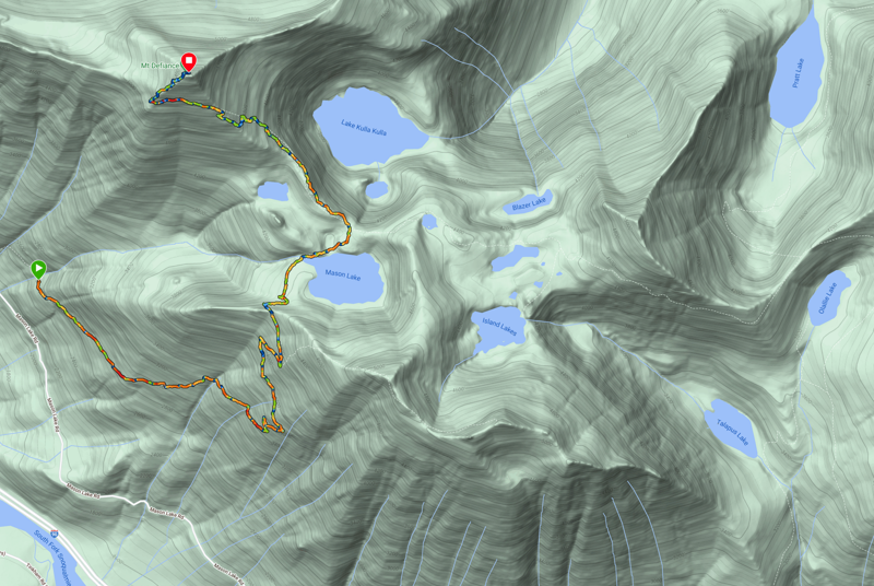
I had a chance to go for today and decided to see if how difficult it might be to run to the top of Mt Defiance (my conclusion was "fairly difficult"). It was 8.75 miles round trip and 2,866' of elevation gain (and the summit is at an elevation of 5,400', so that's kind of fun).
This one has been on my short list for a few weeks now. I added it after running to Mason Lake and thinking "Hmmm... theoretically, if I had more energy, could I continue on to Mt Defiance?". So I added it to the following list, which I affectionately call "Requisite Trail Runs For This Year:
This one is also related to my Relatively Ambitious Plan for a Trail Run and it was good for me to spend some time on the Mt Defiance trail itself, which connects Mason Lake to both Pratt and Olallie Lake.
I tried to pick a day where the air wouldn't be thick with wildfire smoke, and to a certain degree I was successful (the air quality was "moderate"[1]).
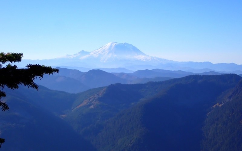
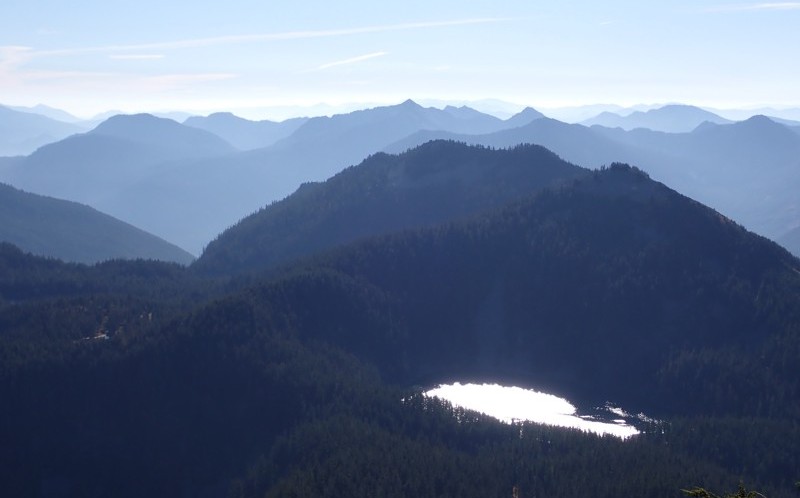
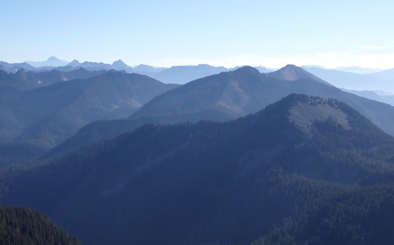
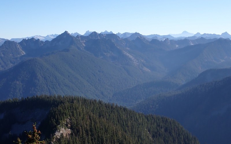
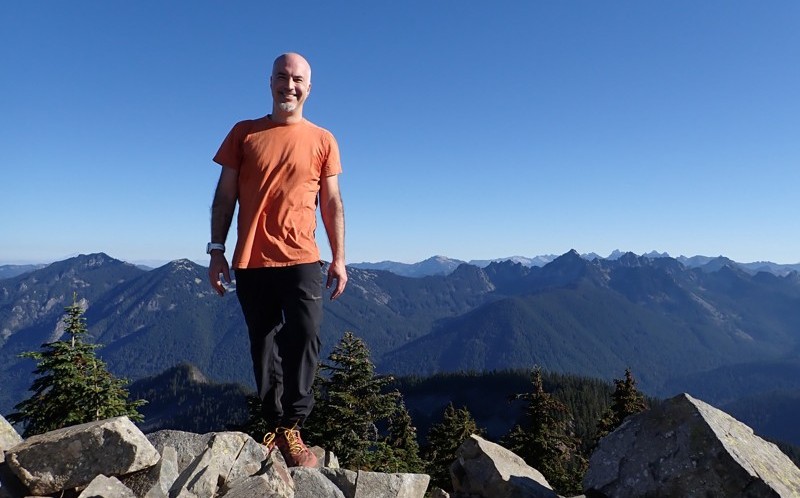
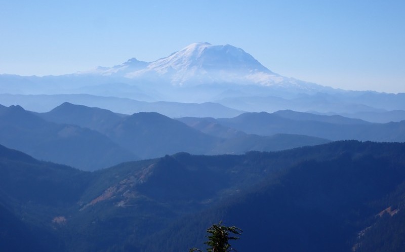
I didn't quite appreciate that there are 360° views at the summit, and since you're pretty high up there (5,400'), you can see a lot. I could see Mt Rainier, but not Mt Baker, so visibility was approximately 50 miles.
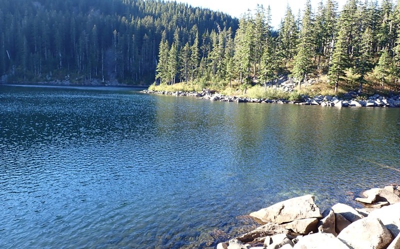
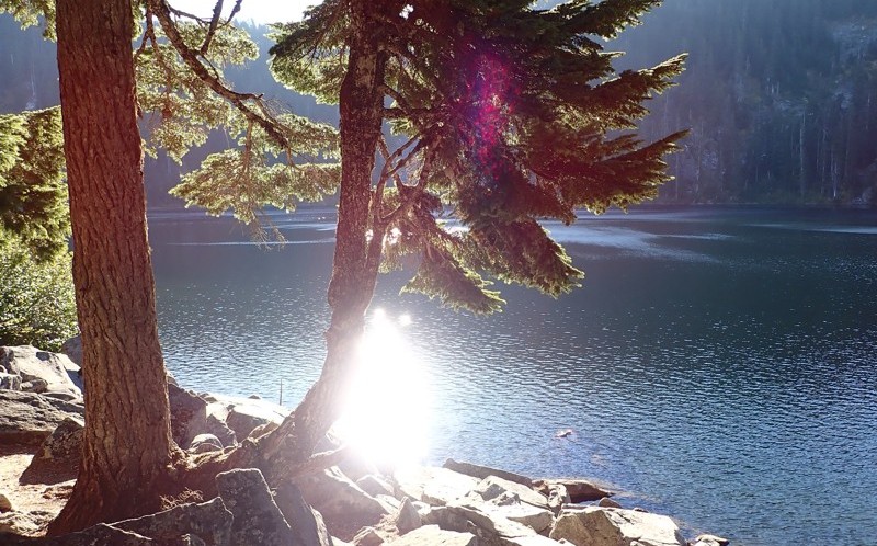
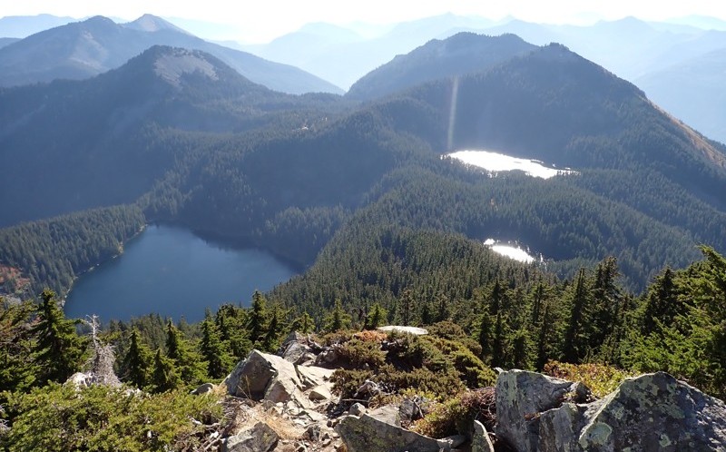
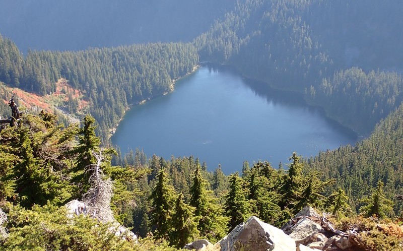
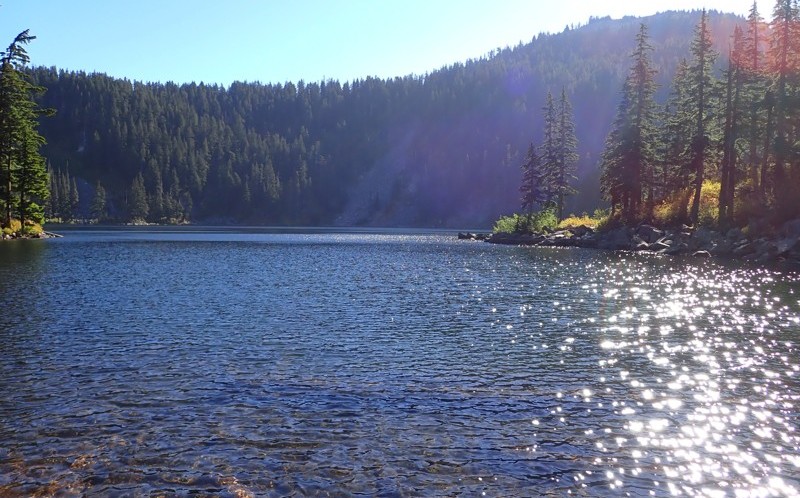
Now, the photos in the gallery below will make a lot more sense if you check out the trail itself. I ran to Mason Lake, took some lovely photos, and then continued on to Mt Defiance. You'll see photos of Lake Kulla Kulla, Mason Lake, and also Little Mason Lake (the small lake between the summit and Mason).
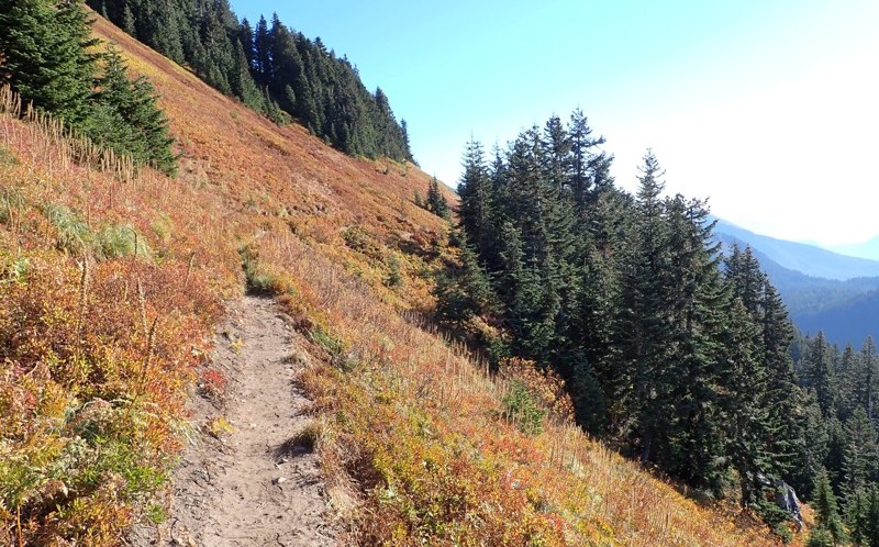
I found the trail itself (between Mason Lake and the summit) to be in great shape. It was wickedly steep in places, but easy to follow. Running along the ridge near the summit was rad (there's a 0.4m section that's essentially constant elevation, just before you turn right to take the spur trail to the summit.
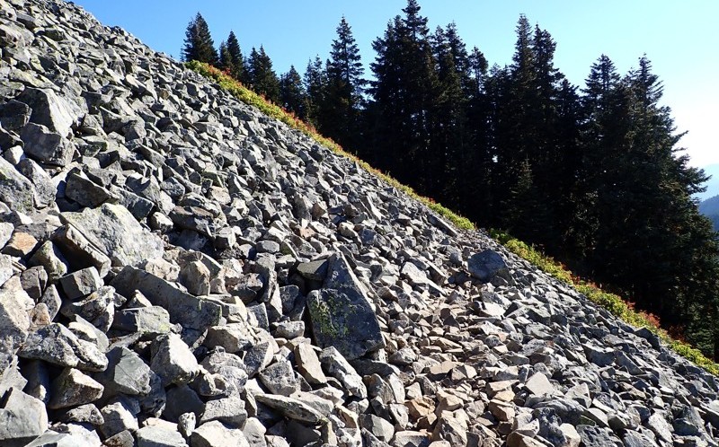
The spur trail was only 0.2 miles long but man was it wicked! Totally steep. Jelly legs all the way. I honestly thought about just walking it, but I toughed it out and ran it in short sections, taking a minute or two to catch my breath inbetween. It reminded me a lot of the last section of the Mailbox Peak trail, which is fairly brutal.
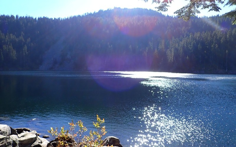
Along the way, I ran past Mason Lake and took this photo, which is arguably the best photo I've ever taken of that lake:
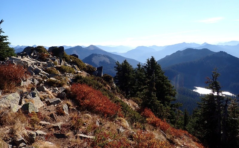
There's a lot to see up there. The closest mountains are Granite and Bandera. To the west are Dirty Harry's Peak, Russian Butte, and Mount Teneriffe. And I do wonder if, to the north, I can see Preacher Mountain, which sits above Rainy Lake.
I'll endeavor to label some of these soon (I have to identify them first, which can be a trick).